


This season’s most recent nor’easter gave inhabitants of the Danvers area near-whiteout conditions, power outages, 60 MPH winds, and surpassed 10 inches of snow.
In response to somewhat hazardous road conditions, local schools unanimously canceled school for both Monday and Tuesday of last week, providing an unscheduled extension to February break. Thankfully, the DPW did its due diligence, clearing out the snow, and school operations resumed business as usual on Wednesday.
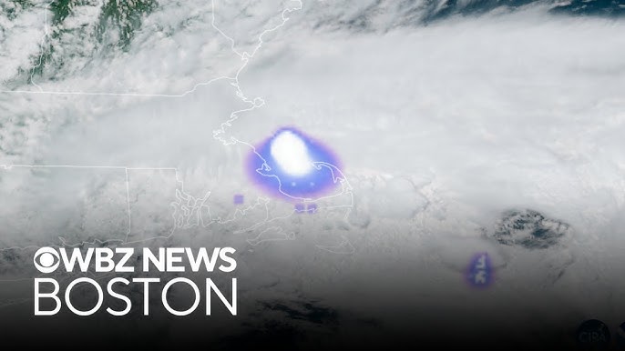
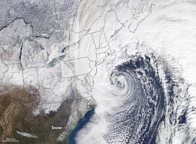
This storm was a more intense nor’easter than recent years; comparisons have been made to a blizzard, especially in regard to the rest of the state. Cape Cod, in particular, was hit the hardest, with winds reaching a formidable 83 MPH. Due to the severity of the oncoming storm, Massachusetts’ governor, Healey, pre-emptively declared a state of emergency and instituted a travel ban on portions of the commonwealth the week prior. The majority of the snow fell from 8:00 PM on Sunday, February 21st, until it subsided at around 2:00 PM on Monday, peaking around dawn. Temperatures stayed in the 20’s and low 30’s during the storm.
For context, a nor’easter is an annual phenomenon that begins as a large-scale cyclone in the Atlantic Ocean, moving up the coast from the Carolinas through New England. They form because of Arctic wind currents melding with the warmer, wet air coming from the ocean.
This one came near the end of a season that has been very active to this point, with at least two other notable storms last month. This is consistent with Punxsutawney Phil’s prediction on Groundhog Day this year, with one week still remaining in winter according to the famous woodchuck pundit.